|
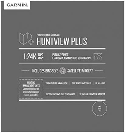
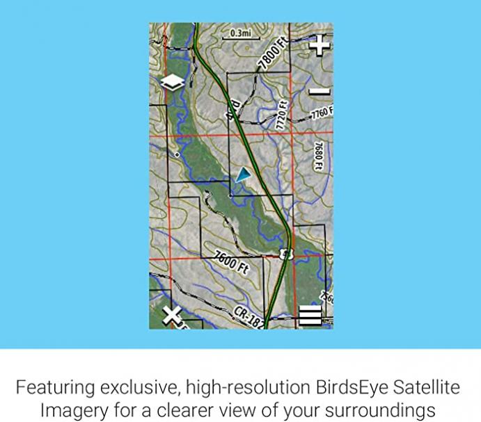
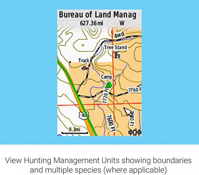
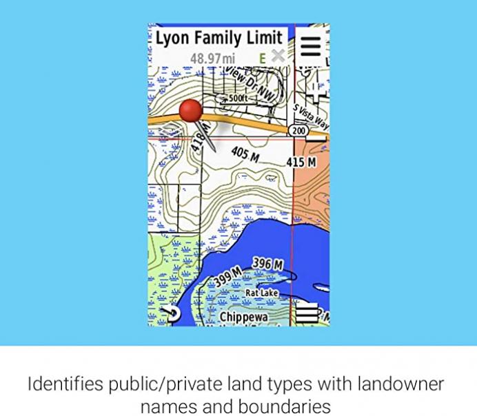
Featuring exclusive birdseye satellite imagery and 1: 24K scale topo mapping, these preloaded microSD cards offer a seamless hunting Map solution for Garmin handheld GPS devices. Map data is collected from Multiple sources, Providing full state-by-state coverage with routable road and trail data, landowner names and boundaries for public/private Land types and boundaries, food/fuel locations and more. Included basecamp software lets you interface your computer with your handheld device to plan your hunt, transfer waypoints, and even keep a track log so you can return to the best hunting spots or share the adventure online. Features & details Features - Now includes hunting management units containing boundaries and multiple species (where available)
- Identifies landowner names and boundaries for public/private land types and boundaries, using data from multiple sources for superior coverage and detail
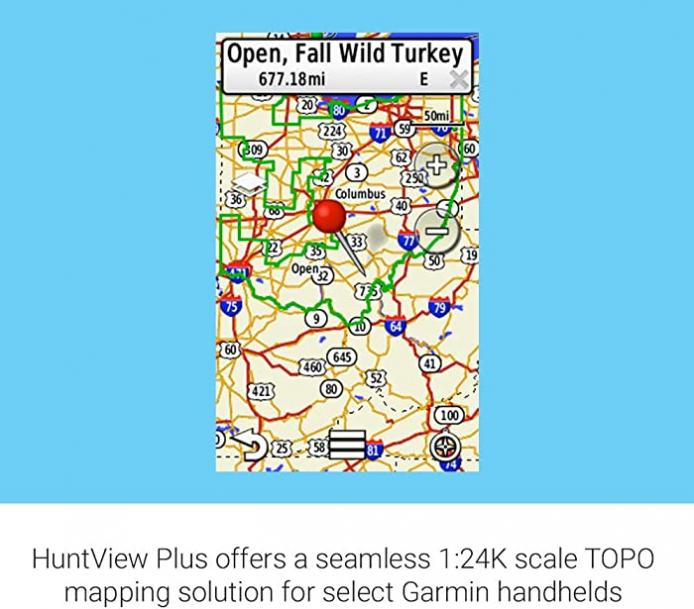
- Digital topography equivalent to 1: 24, 000 scale U.S. Geological Survey maps
- Shows thousands of routable roads and trails with turn-by-turn navigation from the field
- Includes searchable points of interest: parks, summits, geographic place names, camping areas, businesses and more
Product information | Product Dimensions |
0.59 x 0.04 x 0.43 inches | | Item Weight |
1.6 ounces | | ASIN |
B07HNTD8SG | | Item model number |
010-12516-02 | | Customer Reviews | 4.3 out of 5 stars 3Reviews |
| Best Sellers Rank |
#480,064 in Electronics (See Top 100 in Electronics)
#992 in Handheld GPS Units
| | Other display features |
Wireless | | Included Components |
Huntview Plus Map | | Manufacturer |
Garmin | | Date First Available |
September 26, 2018 | Product Warranty: For warranty information about this product, please click here
Huntview Plus Map |